Natural disasters can happen without warning, but certain signs may help you spot the risk early. Paying attention to your surroundings can make a big difference.
From local geography to infrastructure and climate trends, several clues can reveal if your area is vulnerable. Here are 10 key indicators to watch for.
1. Proximity to Bodies of Water

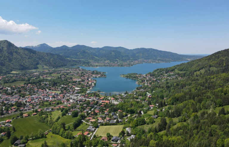
Living near rivers, lakes, or oceans can elevate the risk of flooding, especially during heavy rainfall or storm surges. Low-lying areas are particularly vulnerable.
2. History of Past Disasters

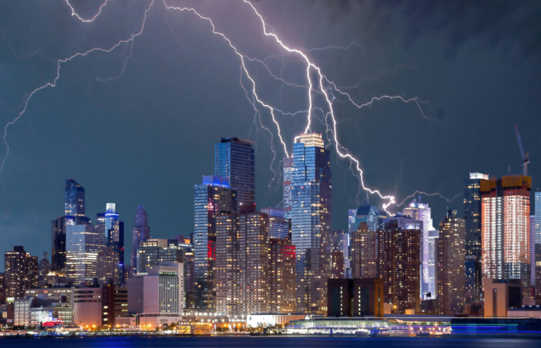
A history of events like earthquakes, hurricanes, or wildfires in your region can indicate a recurring risk. Reviewing local records can provide insights into potential future threats.
3. Local Topography and Soil Composition
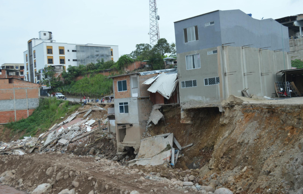
Areas with steep slopes or loose soil are more prone to landslides, especially after heavy rains or seismic activity. Recognizing these geographical features can help assess risk levels.
4. Climatic Patterns and Changes

Regions experiencing prolonged droughts or shifting weather patterns may face increased risks of wildfires or severe storms. Monitoring local climate trends is essential.
5. Urban Development in Risk Zones

Expansion into areas prone to natural hazards, like floodplains or wildfire-prone forests, can heighten disaster vulnerability. Understanding zoning and land use is critical.
6. Aging or Inadequate Infrastructure

Outdated dams, levees, and drainage systems may fail under stress, exacerbating disaster impacts. Regular assessments of local infrastructure can reveal potential weaknesses.
7. Changes in Natural Warning Signs

Sudden changes like unusual animal behavior, ground cracks, or water level fluctuations can precede certain natural disasters. Being attentive to these signs can provide early warnings.
8. Community’s Preparedness Level

A lack of emergency plans, resources, or awareness in your community can amplify disaster effects. Engaging in local preparedness initiatives can mitigate risks.
Read More: Top 10 Weather Phenomena That Science Still Doesn’t Fully Understand
9. Insurance Limitations and High Premiums

High insurance premiums or exclusions for specific disasters can indicate recognized risks in your area. Reviewing and understanding your coverage is advisable.
Read More: Never Do These 10 Things During a Thunderstorm
10. Official Hazard Maps and Risk Assessments

Consulting resources like FEMA’s National Risk Index can provide comprehensive insights into local hazard risks. These tools are invaluable for informed decision-making.
Awareness of these indicators allows for proactive measures to safeguard yourself and your community against potential disasters.
Read More: 15 Smartest Ways to Prepare for a Hurricane Before It Hits